Holcomb Creek Trail

by rmajor

img_2544.jpg

The Holcomb Creek Trail is in a remote area a few miles east of Clayton, Ga. Getting there involved driving 10 miles from Clayton on a winding, twisting backroad. Then I turned left onto Forest Service Road 7, also known as Hale Ridge Road. FS7 is a gravel road, narrow in many places, with a lot of twists, turns, and rough spots. It took over half an hour to drive the 7 miles to the trailhead. The information I had said the trail descended pretty steeply for .3 mile to a footbridge at Holcomb Creek Falls, and proceeded from there another .25 mile to Ammons Creek Falls. An alternate trail from that point would follow Holcomb Creek for .6 mile back to FS7. This was said to be an easier approach, with more room for parking, so I chose to start from there. As I drove the .5 mile to the alternate trailhead, I was a bit concerned that I was driving uphill, and that was altitude I would have to lose and regain on foot.

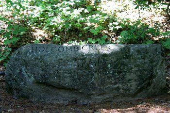
The rock pictured above marks the entrance to the main trail.


IMG_2497.JPG

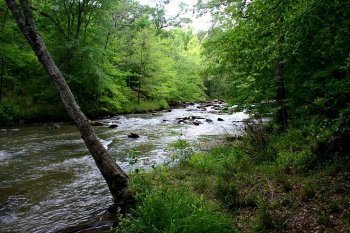
As I followed the trail alongside Holcomb Creek, I came upon this small cascade and pool.


IMG_2495.JPG

A closer view of the cascade.


IMG_2500.JPG

Leaving the cascade, I headed on downhill. The section of the trail shown here was tame and easily traveled. Unfortunately, it didn’t stay that way. As I went farther downhill, the trail got steeper and narrower, with a lot of exposed roots and stuff to trip over. The dropoffs beside the trail kept getting deeper and steeper. With my fear of heights, it was really rattling my nerves. I began to wonder if it was really a good idea for me to be hiking such a narrow trail by myself in a very remote area.


IMG_2507.JPG

At the bottom of the trail was the overlook for Ammons Creek Falls, a 40 foot cascade. I met another group of hikers who had come in the other way. They assured me that way wasn’t bad.


IMG_2512.JPG

As I headed down the main trail toward Holcomb Creek Falls, I was stopped dead in my tracks by a brilliant splotch of color. I’ve seen a lot of fungi in my time, but I don’t think I’ve ever seen any this colorful.


IMG_2535.JPG

This is the 120 foot cascade known as Holcomb Creek Falls. It was a beautiful sight to behold, even though much of the lower portion was obscured by trees.


img_2542.jpg

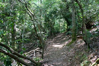
Since I was pretty sure I didn’t want to go out the way I came in, I began the climb to the main trailhead. The trail was a bit narrow and dangerous in some places, but mostly wasn’t too bad.


img_2547.jpg

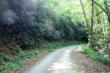
After having to so carefully watch my step on the trail, it was a relief to get back to the road. Even though I still faced a .5 mile uphill climb, I knew if I tripped and fell I wouldn’t fall very far.


img_2551.jpg

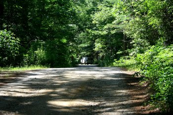
It’s always a relief to get back to my vehicle after a long walk.

My first thoughts after completing this hike were that I was glad I had done it, but I didn’t want to do it again. After getting back home and going through my photos, I realized I might decide to do this one again someday. If I do, I’ll probably stick to the main trail and upper section of the alternate trail (where the small cascade is) and leave the lower section of the alternate trail to more sure-footed individuals.
Watson Mill Bridge State Park

by rmajor

Watson Mill Bridge 2.JPG

Watson Mill Bridge State Park is located midway between Athens, Ga. and Elberton, Ga. near the small town of Comer. It is home to the longest covered bridge in the state. It is a popular place for afternoon picnics or a leisurely stroll. It is also popular among equestrians, and has 12 miles of horse trails.


img_1957.jpg

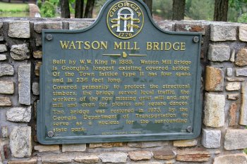
Historical marker.


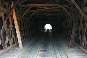
img_1960.jpg /></a></p> <p>A view of the interior of the bridge.</p> <p> </p> <p><a onclick=

A view of the inside of the bridge.


img_1977.jpg

I chose to hike the 2.5 mile hiking and biking trail on the north side of the river.


img_1982.jpg

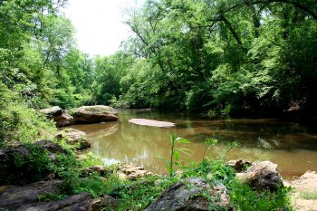
This trail led beside the river downstream of the bridge and dam.


Watson Mill Bridge 3.JPG

After following the river for a ways, the trail turned left for a loop through the woods.


img_1990.jpg

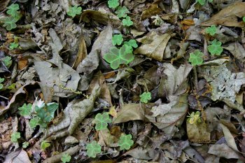
Along the way I spotted this unusual variety of clover.


img_2003.jpg

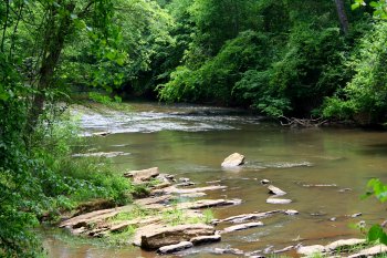
After completing the loop, I snapped this picture of the view back upstream.


Watson Mill Bridge 5.JPG

After crossing back over the bridge to the south side of the river, I was greeted by these beautiful blossoms.


Watson Mill Bridge 6.JPG

This photo was made on the south bank, facing downstream.


Watson Mill Bridge 1.JPG

I’ll wrap up this tour with a last look at the bridge.

Black Rock Mountain State Park

by rmajor

Black Rock Mountain 1.JPG

At an altitude of 3,640 feet, Black Rock Mountain State Park is the highest state park in Georgia. It straddles the Eastern Continental Divide in northeastern Georgia. Driving up the road into the park, I saw a bear for the first time in my life. It was a black bear cub that sauntered across the road several yards in front of me. Unfortunately, I didn’t have the camera handy enough to get a picture.


Black Rock Mountain 2.JPG

I chose to hike the 2.2 mile Tennessee Rock Trail. This trail has the added bonus of being a very educational experience. It goes through a diversity of terrain and habitats. There are 25 markers along the trail, and a brochure available at the Visitors Center for a small fee tells what to be aware of at each one.


img_2090.jpg

I started around the trail counterclockwise, the way it was intended, only to find that recent winds had blown a tree down across the trail. Being reluctant to risk leaving the trail to go around, and fearing that the first tree might be just one of many, I turned around and headed the other way. I figured I would see how far I could get going clockwise. Along the way I encountered other hikers who assured me the tree could be gotten around safely and it was the only major obstacle. So I hiked the entire trail in the opposite direction from which it was intended.


Black Rock Mountain 3.JPG

One of the coolest things about the trail is that for a while it straddled the Eastern Continental Divide. I had driven across the Continental Divide numerous times in my life, but this was the first time I ever crossed it on foot.


img_2103.jpg

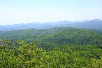
The trail includes the Tennessee Rock Overlook, which gave me this wonderful view of the mountains.


img_2114.jpg

I can honestly say I’ve hiked to the top of a mountain, although my starting point was well up from the bottom.


Black Rock Mountain 5.JPG

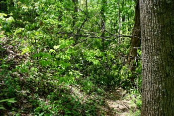
There’s nothing like a walk in the woods.


Black Rock Mountain 6.JPG

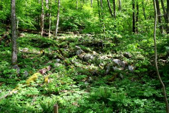
In the immortal words of Yogi Berra, “When you come to a fork in the road, take it!” Actually this fork was a side section of the trail leading to a boulder pile. I came in one way and went out the other.


img_2132.jpg

The boulder pile.


Black Rock Mountain 7.JPG

Frankly, I wasn’t greatly interested in seeing a boulder pile, and wasn’t very impressed when I did. But if I had skipped that little detour like I started to, I would have missed this extraordinary sight. This tree looks like it is actually walking through the woods.


Black Rock Mountain 8.JPG

Upon my return to the parking lot, I snapped this picture of some flowers. Maybe someday I’ll learn enough botany to be able to tell you what kind they are. For now, I just call them beautiful.


Ruby Falls

by rmajor

img_0683.jpg

To visit Ruby Falls, I took a hike underground.


Ruby Falls was discovered by accident. Its discovery resulted from an effort to make a new entrance to the well-known Lookout Mountain Cave, whose entrance had been closed off by railroad construction. A local cave enthusiast named Leo Lambert decided to drill an elevator shaft from another point on the mountain to reopen Lookout Mountain Cave to the public. He calculated he needed to drill 420 feet to reach the cave. At the 260 foot mark, the drilling hit an opening which released a gush of air. Further inspection revealed an opening 5 feet wide and 18 inches high. Lambert and a small crew entered this opening to explore it. Seventeen hours later they returned, telling tales of unusual and beautiful rock formations and a magnificent underground waterfall. On his next trip, Lambert took his wife Ruby and told her he would name the waterfall after her.


Workers finished the elevator shaft to Lookout Mountain Cave, and for a time both caves were open to the public. But the Ruby Falls cave proved so much more popular that in 1935 the Lookout Mountain Cave was closed to the public.


img_0674.jpg

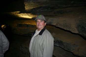
I was joined on my tour of Ruby Falls by my friend Roger Dowiat. Roger and I are both long distance members of the Atlanta Astronomy Club. He lives in Fort Payne, AL and I live in Piedmont, SC. I met him a few years ago while attending the club’s annual star party, the Peach State Star Gaze.


img_0650.jpg

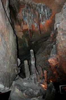
From the visitors center, an elevator took us 260 feet down to a .2 mile tunnel which leads to the falls. We were treated to views of numerous rock formations, such as the one above.


img_0651.jpg

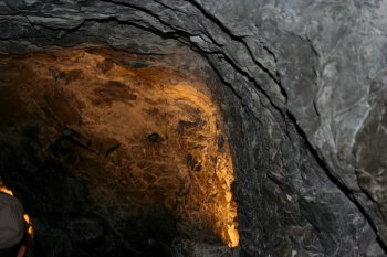
In some places it is possible to see marks left by the dynamite used to enlarge the tunnel and make it accessible to the public.


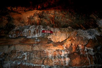
img_0660.jpg

This formation resembles a fish.


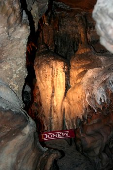
img_0653.jpg

This formation is referred to as the north end of a southbound donkey.


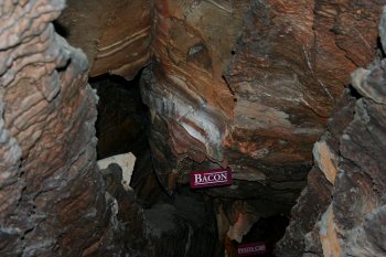
img_0668.jpg

There was also the food section, containing bacon…


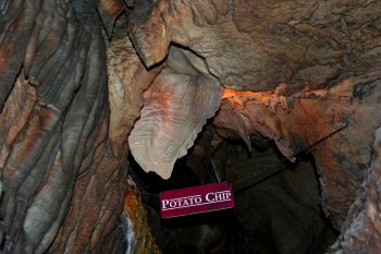
img_0669.jpg

…and a potato chip.


img_0678.jpg

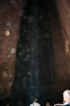
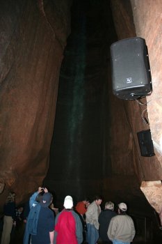
And finally, the waterfall itself. The water drops 60 feet in a natural cavern. No one knows where the water comes from or where it goes. Although the tunnel leading to the falls is pretty level, the mountain above is not. So after starting out 260 feet underground at the elevator shaft, we were 1000 feet underground at the waterfall.


This was a trip well worth making, and I would encourage anyone planning to be in the Chattanooga, TN area to check out this natural wonder.

Tallulah Gorge

by rmajor

tallulah-gorge-1.jpg

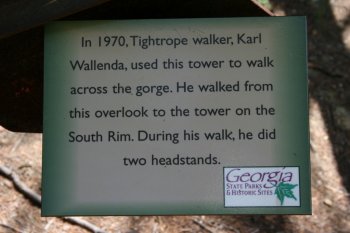
The fourth and final stop on my Canyon Climbers Club tour was Tallulah Gorge. This is the gorge crossed by famed tightrope walker Karl Wallenda.


img_1573.jpg

This plaque commemorates his feat.


img_1575_0.jpg

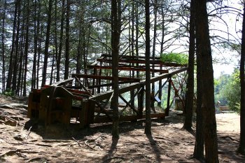
The tower on the North Rim still remains, now laid over on its side. I tried in vain to find video on the internet of Wallenda’s walk across the gorge, but the best I could do was this clip of him doing a headstand in London.


tallulah-gorge-5.jpg

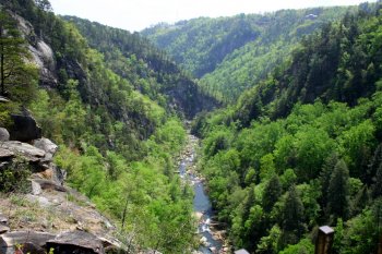
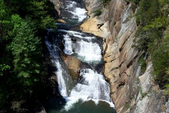
This photo was taken from the top of the stairs leading down into the gorge from the North Rim.


img_1606.jpg

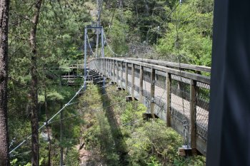
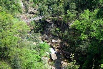
After climbing down 310 steps from the North Rim, I was able to cross the suspension bridge. The bridge is 80 feet above the gorge floor and fortunately is pretty stable. It only swayed a little as I crossed.


tallulah-gorge-3.jpg

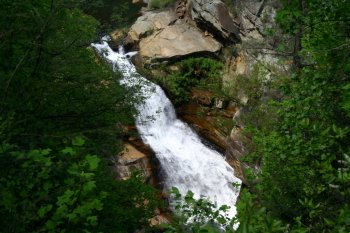
After climbing 340 steps to the South Rim, I was able to check out the view from that side, including this waterfall.


tallulah-gorge-2.jpg

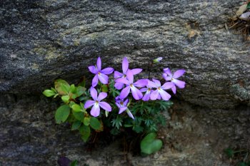
One of the nice surprises I found on the South Rim was these small purple flowers.


tallulah-gorge-6.jpg

img_1675.jpg

The South Rim was alive with color as flowers bloomed on the warm spring day.


img_1698.jpg

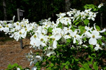
The dogwoods were blooming as well.


tallulah-gorge-4.jpg

I was also treated to another view of the suspension bridge.


My hike completed, I returned to the Visitors Center to have the Park Ranger make the final punch in my Canyon Climbers Club card. The Ranger told me that was the first she had seen with all four punches. She had seen a lot of them with three, but most usually lack Providence Canyon. That’s understandable. Providence Canyon is located in the southwest part of Georgia, and the other three are scattered across northern Georgia. It takes a bit more travel commitment to reach Providence.