Two Old Bridges

by rmajor

pearsons-falls-267a.jpg


Greenville County, SC is home to two very nice old bridges. Both of these had been on my radar screen for a long time, and I finally found the time and opportunity to visit them.


pearsons-falls-269a.jpg


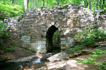
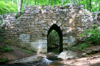
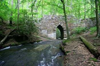
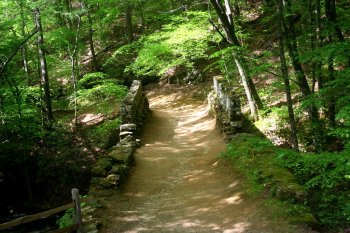
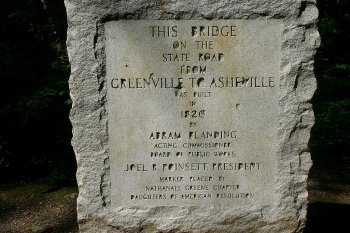
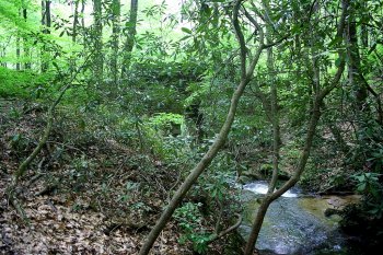
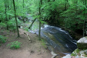
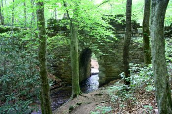
Poinsett Bridge is an old stone Gothic arch bridge built in 1820. All of the photos I had seen of the bridge were made from the downstream side, which offers the most unobstructed view. The upstream side has more trees and bushes near the bridge, but I had fun walking over and around the bridge making photos of it from different angles.


pearsons-falls-280a.jpg


pearsons-falls-264a.jpg


pearsons-falls-266a.jpg


pearsons-falls-289.jpg


pearsons-falls-290a.jpg


pearsons-falls-297a.jpg


pearsons-falls-305a.jpg


pearsons-falls-312a.jpg


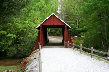
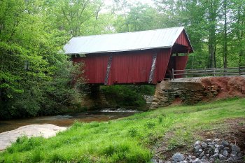
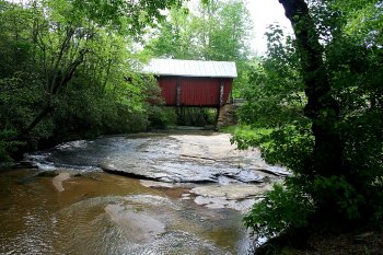
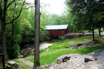
Campbell’s Covered Bridge was built in 1909.


pearsons-falls-317a.jpg


pearsons-falls-323a.jpg


pearsons-falls-334a.jpg


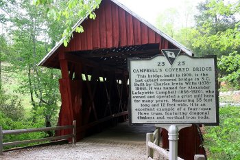
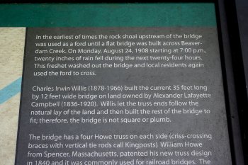
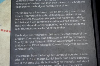
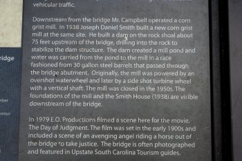
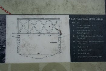
A nice little park with picnic tables and a walking trail has been built around the bridge. A plaque offers some details about the structure and history of the bridge.


pearsons-falls-325a.jpg


pearsons-falls-327a.jpg


pearsons-falls-328a.jpg


 pearsons-falls-332a.jpg


pearsons-falls-346a.jpg


pearsons-falls-349a.jpg


Shunkawauken Falls

by rmajor

pearsons-falls-204a.jpg


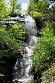
After Jim and I left Pearson’s Falls, we headed east to Shunkawauken Falls, which is a roadside waterfall located on White Oak Mountain just north of Columbus, NC. It is rare for a waterfall so close to the top of a mountain to have so much water flow, but a few ponds on top of the mountain keep it supplied with water.


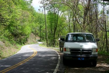
The road leading up to the falls is very steep, and some of the turns are so sharp I thought I was going to have to install a hinge in the middle of my big van to get around them.


pearsons-falls-186a.jpg


We had to park in a pulloff about 100 yards above the falls.


pearsons-falls-189a.jpg


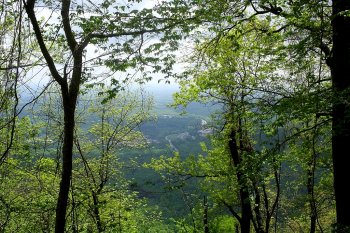
An opening in the trees revealed just how far we had climbed. That’s the junction of I-26 and Hwy 108 at Columbus visible below, and we had just been there a little while ago.


pearsons-falls-198a.jpg


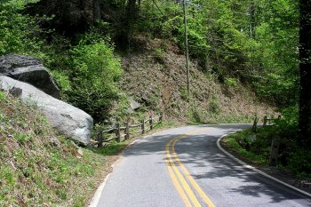
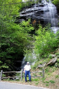
Even this close to falls, it is not visible from the road. One must get past the trees and bushes on the left side of the road to see the falls. The falls are just to the left of the split rail fence. Be careful not to back up too far on the other side of the road. There’s no fence there and it’s a long way down!


pearsons-falls-202a.jpg


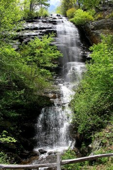
Pictures could never do this waterfall justice, and words cannot describe the feeling of awe and wonder I experienced upon suddenly looking nearly straight up at 150 feet of waterfall.


pearsons-falls-214a.jpg


pearsons-falls-201a.jpg


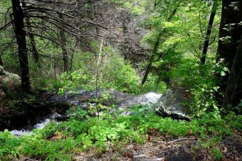
The water flows under the road and out the other side. From this angle, there appears to be as much waterfall below the road as above it. This is the steep dropoff I mentioned earlier.


pearsons-falls-219a.jpg


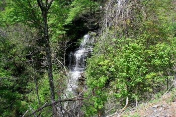
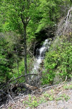
By walking down the road a bit, we were able to get a view of the lower portion of the falls through the trees.


pearsons-falls-221a.jpg


pearsons-falls-233a.jpg


A couple of nice boulders decorated the roadside below the falls.


Pearson’s Falls

by rmajor

pearsons-falls-124a.jpg


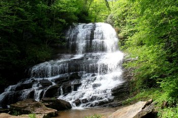
Pearson’s Falls is a 90 foot waterfall located a few miles south of Saluda, NC. The property is owned by the Tryon Garden Club. They charge a small admission fee, which is used to maintain the property.


pearsons-falls-001a.jpg


pearsons-falls-017a.jpg

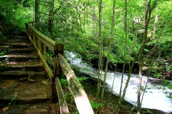
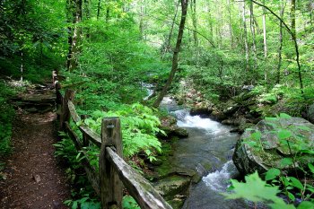
I was joined on this trip by my hiking buddy, Jim. I went on this trip expecting a nice, but relatively uneventful walk to the falls. I was wrong. The trail starts downstream of the falls and leads up to it. The beauty of the trail and creek, which was flowing noisily with the water of recent heavy rains, made this one of the most beautiful hikes I’ve ever been on.


pearsons-falls-024a.jpg


pearsons-falls-031a.jpg


pearsons-falls-039a.jpg


There was a small man-made dam, purpose unknown.


pearsons-falls-048a.jpg


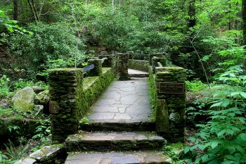
The trail crosses the creek on a beautiful old stone bridge.


pearsons-falls-051a.jpg


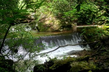
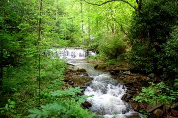
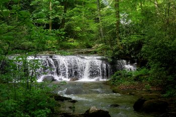
The view upstream from the bridge revealed a small, unnamed waterfall, with Pearson’s Falls visible through the trees in the background.


pearsons-falls-055a.jpg


A closer view of the small waterfall.


pearsons-falls-088a.jpg


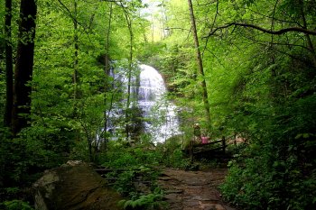
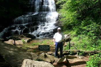
A little further up the trail from the bridge, Pearson’s Falls became visible in all its glory.


pearsons-falls-092a.jpg


This was a very lovely place to be, and Jim and I lingered here to rest and enjoy the scenery before heading back down the trail. There was a cool breeze coming from the falls, and the mist it carried was delightful on a warm spring day.


pearsons-falls-150a.jpg

Jim.


pearsons-falls-144a.jpg

Yours truly.


pearsons-falls-136a.jpg

Chimney Rock and Hickory Nut Falls

by rmajor

003.jpg


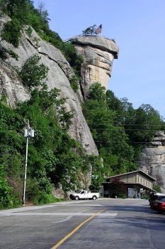
Chimney Rock State Park is located about 30 miles east of Asheville, NC.
 

008.jpg


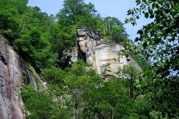
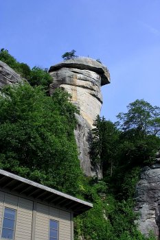
Chimney Rock towers 315 feet over the parking lot and gift shop. I was joined on this trip by my friend Jim, who is from the Asheville area. We decided to take the longest of our planned hikes first, which was the 3/4 mile trail to Hickory Nut Falls.
 

019.jpg


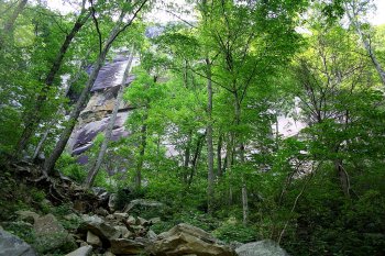
We were treated to a nice view of the cliffs through the trees. The trail was wide and easy to walk, but it was mostly an uphill walk.
 

022.jpg


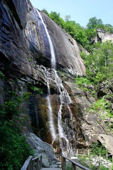
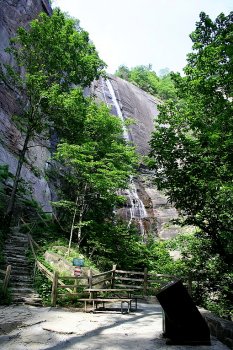
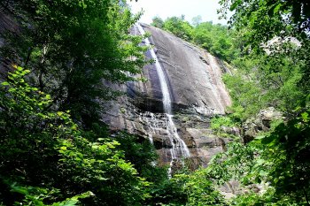
Before long we were treated to our first view of 404 foot Hickory Nut Falls.
 

032.jpg


034.jpg


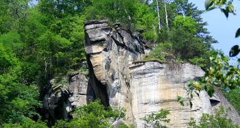
An interesting rock formation jutted out from the cliff on the other side of the creek.
 

034-copy.jpg


040.jpg


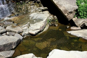
A little further along was an overlook right at the base of the falls.
 

046.jpg


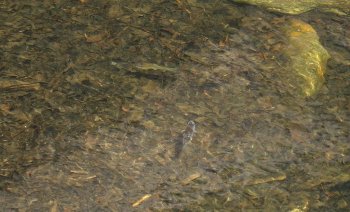
A pool of water below the falls had some small fish in it.


061.jpg


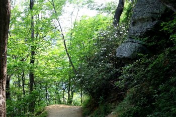
Walking downhill on the return trip was easier, and I enjoyed seeing the rhododendrons in bloom.
 

070.jpg


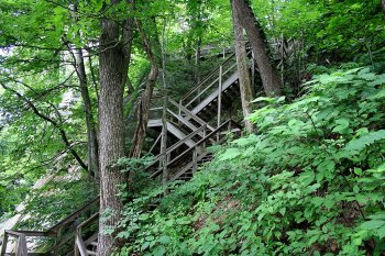
We had an easy downhill walk till we got to these stairs. We had descended these stairs to get to the trail, now we had to climb back up them. I was to spend a lot of time climbing stairs that day.
 

072.jpg


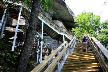
Chimney Rock has a 26 story elevator that goes to the Sky Lounge Gift Shop and the boardwalk near the top of Chimney Rock, but I wanted the bragging rights and feeling of accomplishment that comes from actually climbing to the top, so up the stairs we went. I also wanted to see what photo opportunities would be available along the way.
 

075.jpg


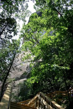
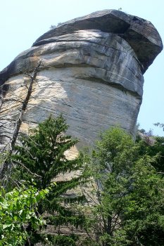
It was rather intimidating to look up at The Rock and know I would have to climb stairs all that way.
 

076.jpg


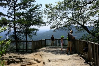
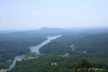
About a third of the way up is Vista Overlook, and we stopped to rest and enjoy the view.
 

084.jpg


The view of Lake Lure from Vista Overlook.
 

085.jpg


I wanted to see the view from up there, so back to the stairs we went.
 

086.jpg


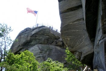
Getting closer, and also getting very tired.
 

089.jpg


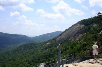
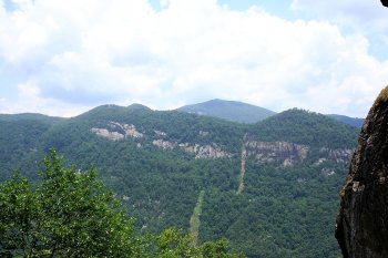
Looking back at the cliffs across the valley.
 

090.jpg


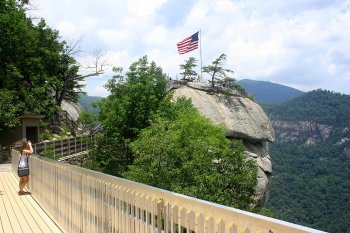
After reaching the boardwalk at the top of the stairs, we decided not to climb to the top of the rock right away. Instead we headed for the air-conditioned Sky Lounge to rest and cool off.
 

095.jpg


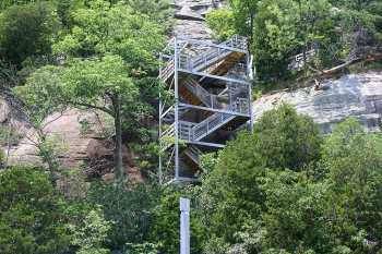
These are the stairs we didn’t climb. They are on the Skyline Trail and lead to the highest part of Chimney Rock State Park. We had planned to go there, but were so exhausted from our efforts that we decided these could wait for another day.
 

110.jpg


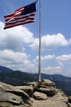
A final effort go us to the top of Chimney Rock.
 

098.jpg


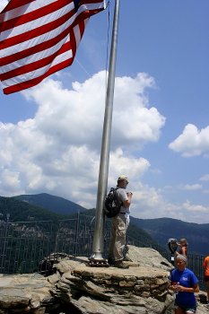
Jim made some photos from the base of the flagpole.
 

099.jpg


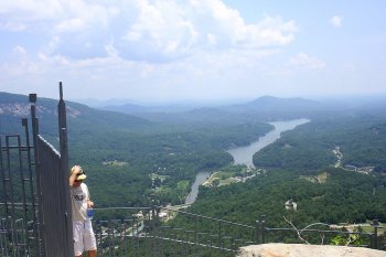
Lake Lure from the top of Chimney Rock.
 

100.jpg


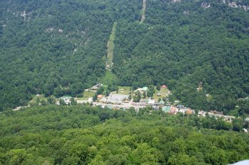
Looking down at the town of Chimney Rock, NC.
 

105.jpg


106.jpg


107.jpg


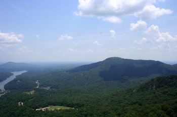
Looking down at the parking lot and the big Dodge van that has carried me on so many of these trips.
 

113.jpg


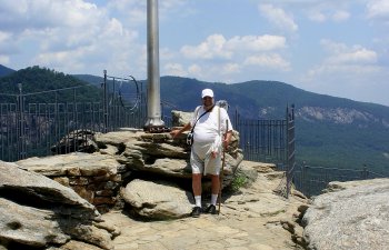
Yours truly on top of Chimney Rock. It is often difficult to push an aging body into making these hikes, but few things in life have brought me as much pleasure.
 

114.jpg


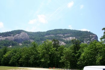
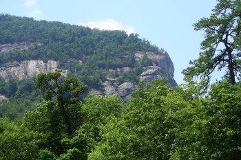
On the way back out of the park, I stopped to photograph the cliffs on the mountain.
 

116.jpg


The flag on top of Chimney Rock can be seen on the right of this picture.

Twin Falls

by rmajor

088a.jpg


Twin Falls is located about 15 miles north of Pickens, SC. I had been there a few years ago, but wasn’t satisfied with the pictures I took, mainly because there wasn’t much water flowing over the falls that day. I decided I would return some nice spring day after a recent heavy rain. It was worth the wait.


049a.jpg


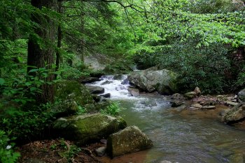
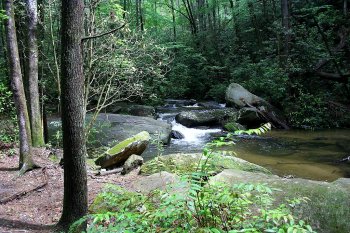
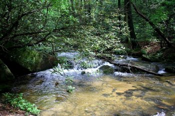
My first indication that there was indeed plenty of water flow came from how much noise the water was making going through the smaller cascades in the creek below the falls. It was a quarter mile hike to the falls, so there was a little time for the excitement to build.


057a.jpg


040a.jpg


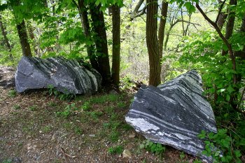
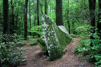
I found this vertical slab of rock rather interesting.


050a.jpg


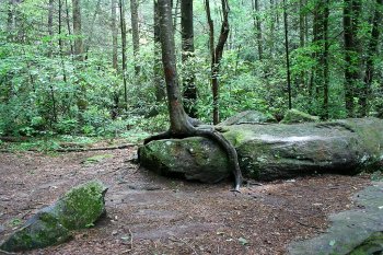
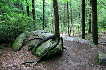
This tree appeared to be crawling across a rock.


054a.jpg


063a.jpg


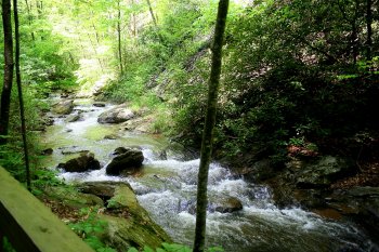
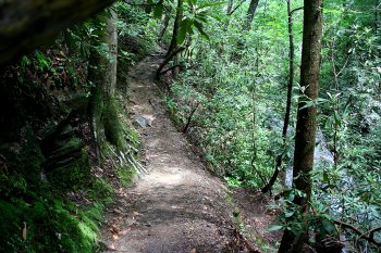
The trail got narrower as I neared the falls. I’ve hiked narrower, but the wetness of the ground and rocks told me I needed to watch my step.


 071a.jpg


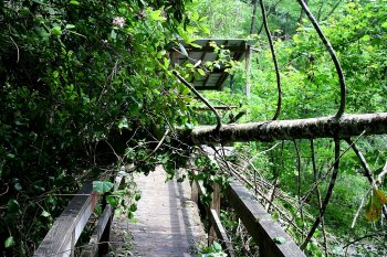
A final obstruction came in the form of a tree which had fallen across the ramp leading to the observing platform.


072a.jpg


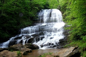
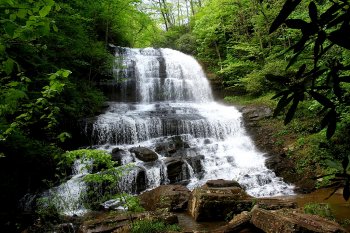
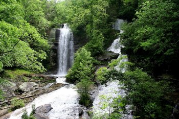
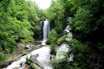
All obstacles cleared and the platform reached, I was able to see Twin Falls in all its glory. The main fall, on the left, is a 75 foot drop. The section on the right cascades across the rocks at about a 45 degree angle. With all the water that was flowing that day, it was a spectacular sight.


100a.jpg


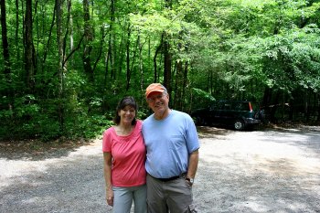
I was joined on the observing platform by a couple of other hikers, Ed and Diane. They told me they had been there a few times before, and had never seen so much water flowing over the falls. It was nice to hear such confirmation that I had indeed picked a good day to go. I took an immediate liking to these folks, and we talked a bit about some of the other nice places to hike we had seen. Maybe someday we’ll meet again on some other beautiful trail.


For anyone wanting to go to these falls, directions are here:


http://www.sctrails.net/Trails/ALLTRAILS/Waterfalls/Twinfalls.html